Skip to content
drone your…
  • Home
  • Roof Inspection
  • Construction
  • School
  • Real Estate
  • drone your… Blog
  • About Us
    • Terms
    • PfCO
  • Contact Us
Site Search
drone your... 3D Model

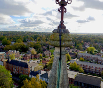
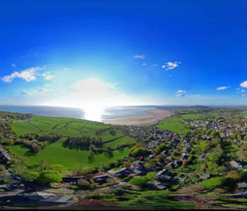
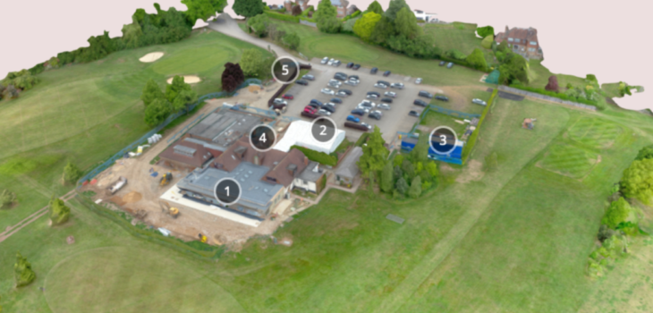
drone your… 3D Model

  • 17th May 201717th May 2017
  • by Damien Ranford

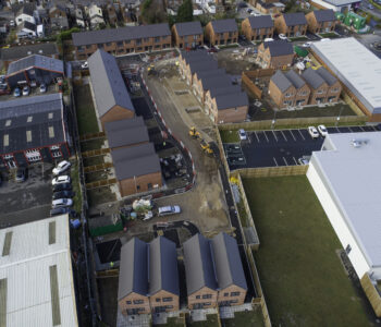
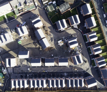
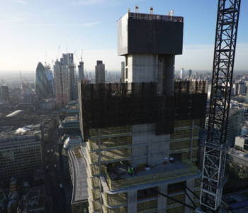
drone your… Construction use drones and aerial photography to create 3D models of buildings and construction sites.  This technique gives an amazing first person perspective of the model.  It also enables us to survey sites and carry out topographical surveys, volumetric and stockpile measurements as well as distance and surface area measurements.  Outputs include Digital Surface Models, Digital Terrain Models, contour maps and point clouds.  This brings quantifiable data to our clients in a quicker, cheaper and safer way than having surveyors clambering over busy and congested construction sites.  Do contact us if you would like to discuss the value drone your… can bring your business.

drone your… School development
drone your… Tring Park School for the Performing Arts
Damien

Related projects

drone your... Ormskirk site
drone your… Affordable Housing
drone your... Wigan
drone your… Housing Association
drone your... Construction
drone your… Construction Site
drone your... Asset Roof Inspection
drone your… Asset Roof Inspection
drone your... Historic Building and Church Inspections
drone your… Historic Buildings &…
drone your... Church Inspection
drone your… Church Inspection
drone your… Mill Roof Inspection,…
drone your… Silverdale, Lancashire
drone your… Queenswood School, Hertfordshire
drone your... SIlverdale, Lancashire
drone your… Silverdale, Lancashire
© 2020 Copyright Drone Your...