drone your… Congleton Development Site
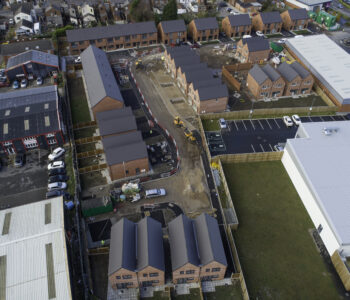
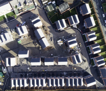
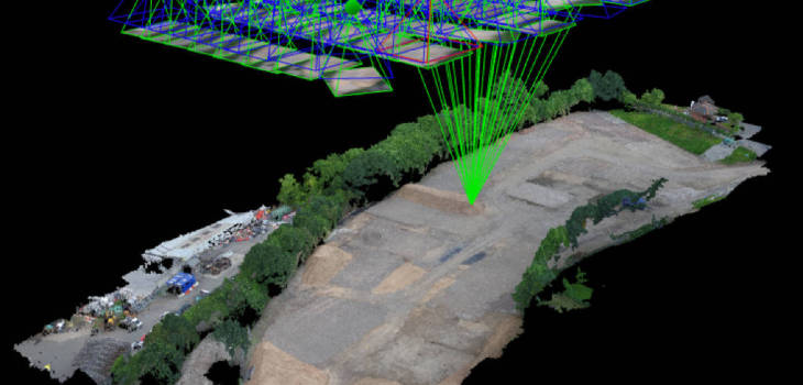
drone your… Congleton Development Site. We do a lot of work in the construction industry and this project was post-remediation, before the groundworks started. As well as aerial video and photography, we also mapped the site in 3D using photogrammetry and GPS control points to give millimetre accuracy in measurements. We are able to carry out stockpile and cut & fill data measurements from these point clouds and this is all done from the safety of the drone and in office-based data processing. An amazing advancement in technology which saves our contractor clients money, time and most importantly, health & safety risk.
